


AR Siders

Mark Merrifield

Jill Gambill

Emanuele Di Lorenzo (Lead Contact)

Renee Collini

Laura Engeman

Adaptation of Coastal Urban and Natural Ecosystems (ACUNE)
June 18, 2021 Southwest Florida

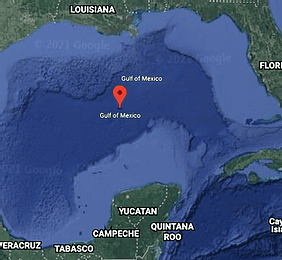
Engaging Stakeholders and Exploring the Effects of Sea-Level Rise in the Northern Gulf of Mexico
April 30, 2021 Coastal Mississippi, Alabama, and Northwest Florida

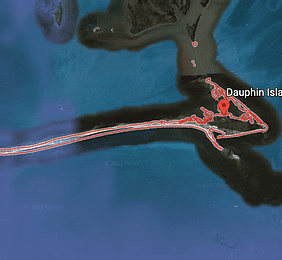
Dauphin Island Adaptation Pathway: Navigating sea-level rise uncertainty on barrier islands
April 23, 2021 Coastal Alabama

High-resolution (2 m) 3-D Mapping for Habitat, Biodiversity, and Flood Hazard Assessments of Coastal and Wetland Areas of the Southern US from Florida to Texas (3D Wetlands Spoke)
April 21, 2021 US Gulf of Mexico wetlands, Florida, Alabama, Mississippi, Louisiana, Texas
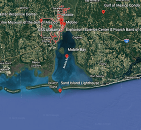
The WRF-Hydro Based Water Model Development For Coastal Flood Simulation
April 14, 2021 Mobile, Gulf of Mexico

Communicating the Socio-Economic Impacts of Storm Surge Flood Plains under the Coastal Dynamics of Sea-Level Rise in the Northern Gulf of Mexico
April 3, 2021 Coastal counties of Northern Gulf of Mexico: Hancock, Harrison, Jackson MS; Mobile and Baldwin, AL; Escambia, Santa Rosa, Okaloosa, Walton, Bay, Gulf, Franklin, Wakulla, Jefferson, Taylor, FL.
USGS Forecasts of Total Water Level and Coastal Change Hazards along the U.S. Gulf Coast
April 2, 2021 Sandy open-ocean coastlines along the Gulf of Mexico

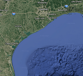
A coupled flooding modeling framework for assessing infrastructure resilience along Southeast Texas Coast
April 1, 2021 Southeast Texas, Jefferson and Orange Counties
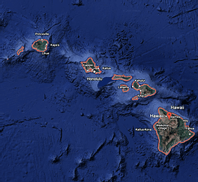
Democratizing access to ocean observing technology
March 31, 2021 Hawaii, and 14 coastal states on U.S. mainland
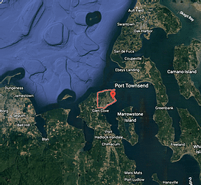
Port Townsend King Tides Monitoring Team
March 24, 2021 Port Townsend, WA

Climate-based statistical Modeling of Monthly Mean Sea Level
March 24, 2021 US west coast
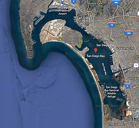
Resilient Futures: San Diego Bay
March 23, 2021 San Diego, CA

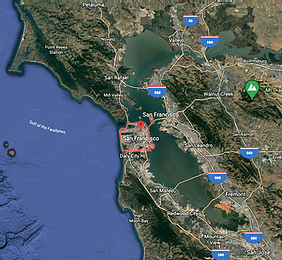
Observations and forecasts for highway flooding in San Francisco Bay
March 19, 2021 Marin & Sonoma Counties, California

CDIP’s Buoy-Driven California Wave Model
March 19, 2021 California

Operational total water level forecasts for the U.S. west coast
March 19, 2021 California, Oregon, Washington open coast
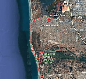
Imperial Beach Flood Forecast System
March 18, 2021 Southern California
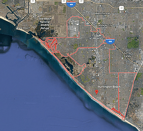
Compound Coastal Flood Modeling at Surfside-Sunset
March 17, 2021 Surfside-Sunset Huntington Beach, CA
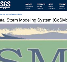
Coastal Storm Modeling System (CoSMoS)
March 17, 2021 California, but national expansion of derivative approaches underway
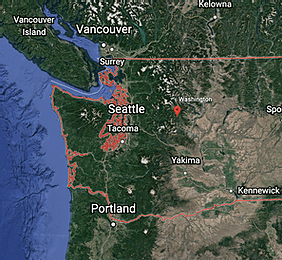
Puget Sound Coastal Storm Modeling System (PS-CoSMoS)
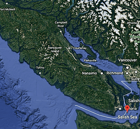
March 15, 2021 Salish Sea - Washington State, British Columbia, Canada

Coastal Ground Water Hazards (aka CoSMoS-GW)
March 17, 2021 California coast (incl. San Francisco Bay)
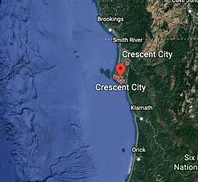
Hydro-UQ: A high-fidelity computational modeling tool to study coastal flooding phenomenon
March 17, 2021 Crescent city, California

Real-Time Tsunami Evacuation and Maritime Response Decision-Support Tools
March 15, 2021 All coastal entities: 20 counties, 100 cities, and 70 harbors/ports

Combining a stochastic climate emulator with surrogate models of dynamic coastal simulators to drive coastal flood impacts research
March 15, 2021 Naval Base Coronado, San Diego, CA
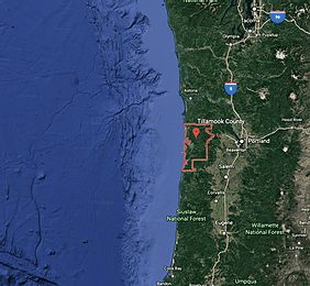
Envisioning a Resilient Pacific Northwest Coast: Co-developing alternative futures for adaptation planning and decision-making
March 14, 2021 Tillamook County, OR; Grays Harbor County, WA
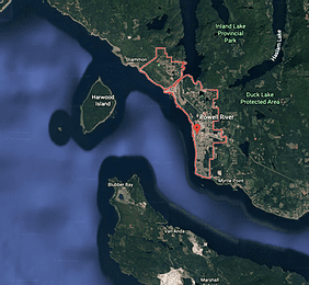
qathet Regional District Coastal Flood Mapping
March 10, 2021 qathet Regional District / Powell River, BC, Canada
The Advanced Quantitative Precipitation Information (AQPI) Project Applied to Coastal Flooding
March 2, 2021 San Francisco Bay, CA
Extreme coastal water level guidance for Washington State
February 25, 2021 Washington State

NECOFS-Coastal Inundation Forecast System: Predictions of Coastal Flooding for Past and Future Extratropical Nor’easter Storms
July 19, 2020 Northeast U.S. Model, NERACOOS (ME, NH, MA, RI, CT)

STORMTOOLS: An integrated suite of planning tools to assess risk and damage from coastal flooding, including the effects of sea level rise.
July 19, 2020 Rhode Island
Developing an Integrated Coastal Water Predictive Capability to Promote Resilience to Water Risks
July 19, 2020 Southeast U.S. Model, SECOORA Model (NC, SC, GA, FL)

The Nonlinear Increase in Flood Risk with Mean Sea Level Rise and the Zone of Shared Risk Concept
July 19, 2020 Branford, Conneticut
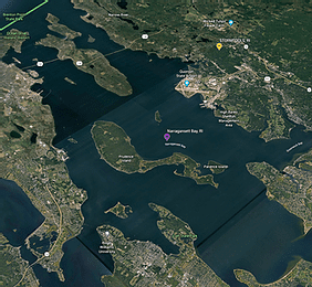
Real-Time Monitoring Network for the South Coast of Rhode Island and Narragansett Bay
July 19, 2020 Narragansett Bay and Southern Shores, Rhode Island

Flood Analytics Information System (FAIS): A Smart Application to Identify At Risk Locations/Communities to Flooding
July 17, 2020 Nation-wide, example for Hurricane

USGS Forecast of Total Water Level and Coastal Change Hazards along the U.S. East Coast
July 10, 2020 U.S. East Coast
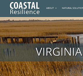
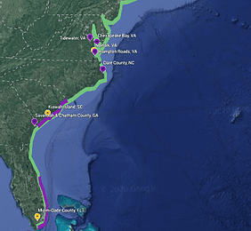
Coastal Resilience on Virginia’s Eastern Shore
July 10, 2020 Nation-wide, example for Virginia
Evolution of Storm Surge Inundation under Relative Sea Level Rise and its Impact on Transportation Infrastructure
July 10, 2020 Hampton Roads, Virginia
Assessing Future Coastal Hazards for the Southeast United States
July 9, 2020 U.S. East Coast
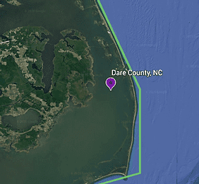
iFlood: A citizen-science approach to understanding groundwater contributions to flooding on barrier islands
July 9, 2020 Dare County, North Carolina
Climate Science Support to Stakeholders
July 8, 2020 South Florida Region, Florida (Palm Beach, Broward, Miami Dade, and Monroe counties)

Envisioning Future Tidal Flooding: The Blue Line Project, Norfolk, Virginia
July 8, 2020 Norfolk, Virginia
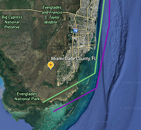
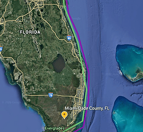
Compounding effects of Storm Surge, Sea Level Rise, extreme Rainfall and Water Table on Urban Flooding in Southeast Coast of Florida
July 7, 2020 Miami Dade County, FL

South Carolina Coastal Communities Water Level Observation System
July 6, 2020 Smartcoastline, South Carolina
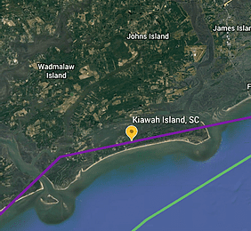
Flood Mitigation, KICA Water Management Task Force
July 6, 2020 Kiawah Island, South Carolina
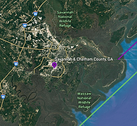
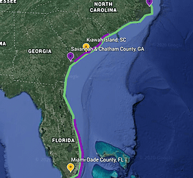
Smart Sea Level Sensors in Chatham County, Georgia
July 4, 2020 Savannah and Chatham County, Georgia

Visualizing the climatology and extremes of coastal water levels
July 2, 2020 Global Sea Level Observing System (GLOSS)

A Coastal Storm Hazard Early Warning and Monitoring System for Delaware
June 29, 2020 CFMS Model, Delaware

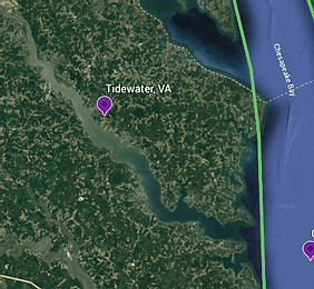
Tidewatch Maps tidal water level predictor for flood resiliency
June 25, 2020 Tidewatch, Virginia
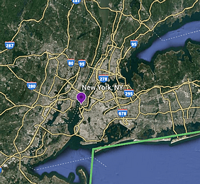
Protecting Coastal Infrastructure in a Changing Climate by Integrating Optimization Modeling and Stakeholder Observations
June 17, 2020 New York, New York